The underlying waves revealed as straight lines/boxes within the cumulus clouds on this November afternoon.
Squares... rotating clouds building into squares.
Rippling in an altocumulus deck... Several seperate wavelengths are evident at both high and lower frequency.
A chemtrail disappears into a distant cloud deck. Passanger planes go over these clouds to avoit jostling the passanger cabin. Chemtrail planes go right through the clouds... they need to that is why they are up there.
A chemtrail marking the edge of a cloudbank colored pink & green
by previous flights.
A couple of 'chemmies' seeding and preparing the atmosphere to
prepare for the next storms arrival. The grid needs/uses these metalic
particles in the atmosphere for better grip/adhesion to the atmospheric
gasses and the electrical/ionic nature of how the grid works. Sunshine
UV protection is also a possible/likely parallel program. These planes
are short trailed and are back at work the day after a storms passage.
They are usually high altitude flights.
This plane is leaving one of the long-lasting marker type of chemtrails. Interesting paint job, isn't it? His trail is the top one in the image below.
Marking the sky with a grid of chemtrails looking for atmospheric manipulation by EM-electromagnetic tools. Note the nice uplift and tear in the middle chemtrail. This spot was isolated by further north-south marking chemtrail flights.
Intersecting waves... One chemtrail marking a boundary at the top-right portion of the image.
Scout Mountain-- Bannock County Idaho. An angry sky this day as turbulance as waves create some odd looking clouds... Image below taken a few hours later.
Railroad track clouds seen in the clouds over Quebec Aug 2 2005.
Mid-Oregon Coast summer 2005. Chemtrails like this are not always weather related. Sightings of glowing orbs are occasionally reported with this kind of activity. A.K. Johnstone, Ph.D. has written a book titled UFO Defense Tactics in which she puts forth a theory that the chemtrails create some kind of a electrical barrier that when penetrated by a UFO creates break in the current that allows for an alert signal to be generated that goes to NORAD generating some kind of defense response by Space Command. Look for orbs in these situations. Take numerous pictures then examine them for craft working at the edge of this dimension. The US/NSA has had its own fleet of UFO's for quite some time now and these can be seen interacting with the orbs that are pointed out by the circular chemtrails.
Important atmospheric information can be gleaned by examining the behavior of chemtrails. The plane below generated this chemtrail while flying due north/south across eastern Idaho last November 19th.
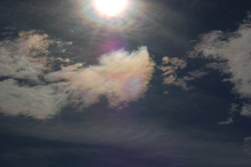
The chemtrail sheen glowing in the clouds nearest the sun.
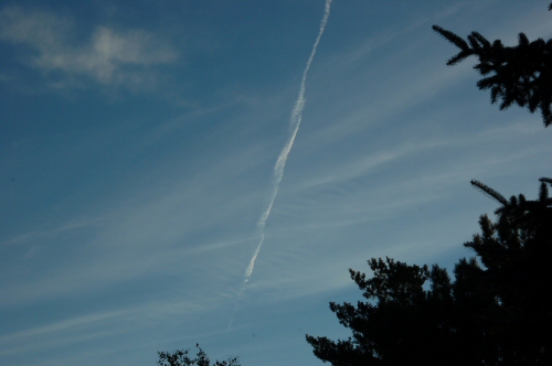
Chemtrails deforming as the plane threaded the marking-chemtrail through the scalar waves.
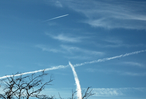
A November morning here in Idaho and looking south... A fat trail rising from below disperses toward the east then ends... The next trail above marked the uppermost (northern) extent of the conditions that allowed for the first trail to persist. A different mixture is being laid down by a MD90 a little farther up the image. Generate the high clouds to make the invisible scalar waves visible.
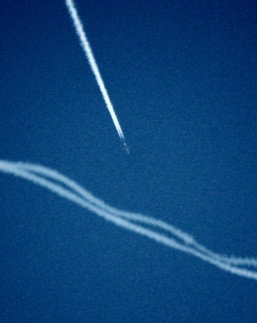
An MD90 flies south through a trail previously laid down by a 747 not 30 seconds before.
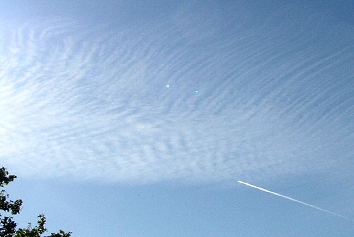
This plane flies well below an obvious boundary in atmospheric energies denoted by the cirrus-hairy up top versus the more rippled look below. These clouds wouldn't be present at all except for previous chemtrail flights.
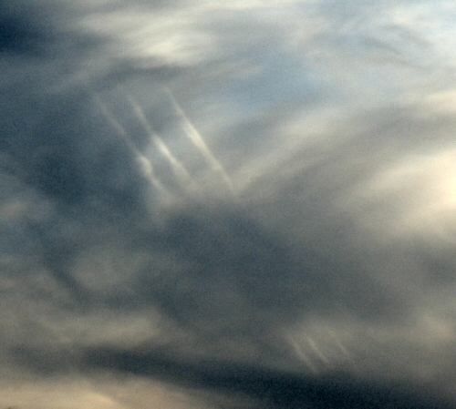
A triplet of chemtrails partially obscured by a lower layer of thin clouds. Indiana.
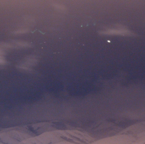
I shot this image of 'lights in the sky' after our 14" Thanksgiving snowstorm; only 2" of which was forecast. I shot nearly thirty long exposure (3 to 12 seconds in length) images late this evening nearly all pictures had orbs of some color and size. I didn't see them with my naked eye at the time.
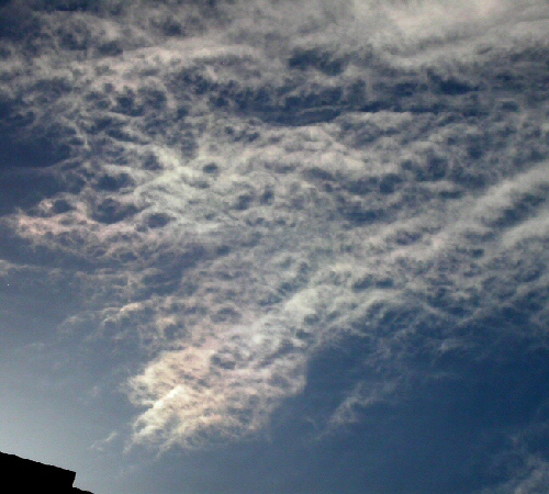
Chemtrail colors seen in this thin layer of bubbling clouds. Could
this be HAARP or other scalar energies heating the sky?
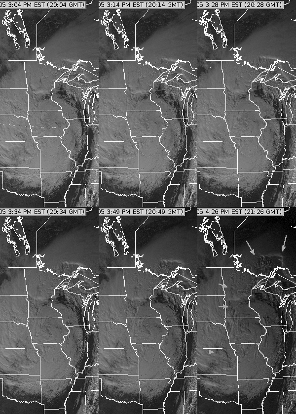
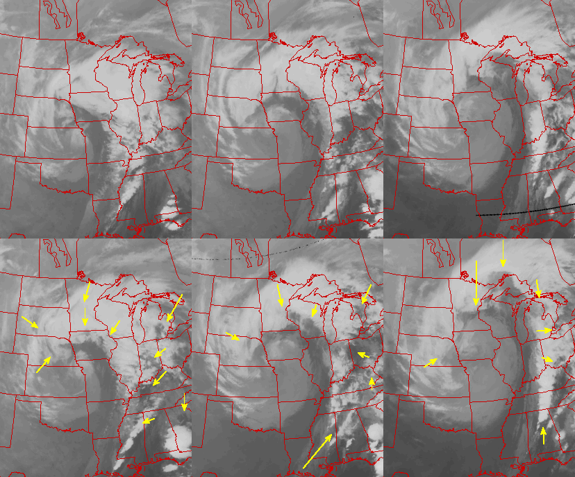
Darkening holes.... Visible and IR loops of the same storm
from 28 November 2005
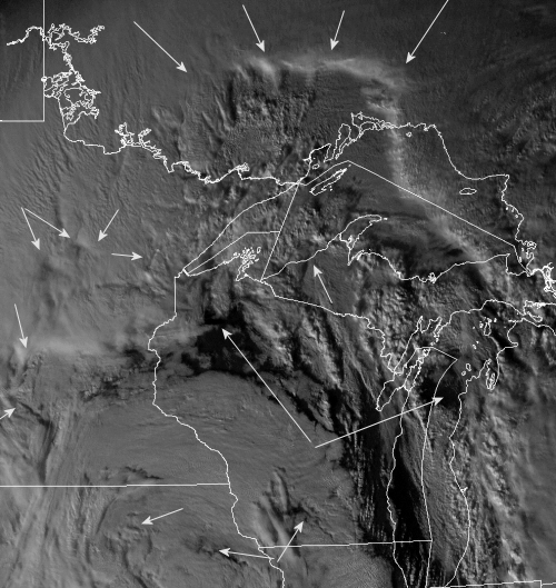
November 28 2005 --2045Z Lots of square edges and oddly placed straight lines in this Thanksgiving weekend storm.
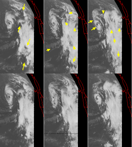
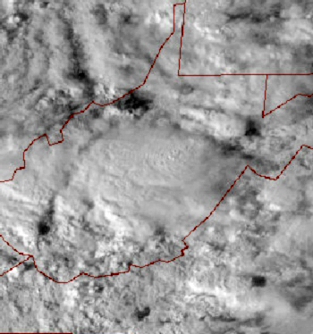
November 25 2005 for the east Pacific loop on the left... Interesting in that similar sized holes have been punched out of the cloud overcast over the Virginia's. Obviously, Mother Nature isn't running this game any longer.
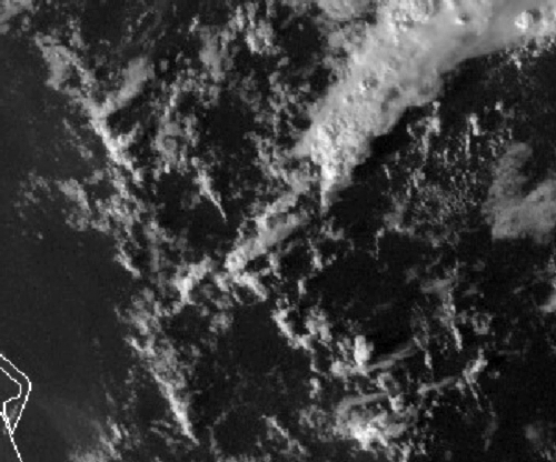
November 6 2005 2145Z When two energy grids are working together but opposed by 90-degrees we witness the formation of these kinds of clouds at sharp right angles. This kind of formation is seen frequently in the cold air Cu off the West Coast after a storm's passage. One grid pulsing south and the other to the east generates these square patterns moving to the southeast. This example is off of the Florida east coast.